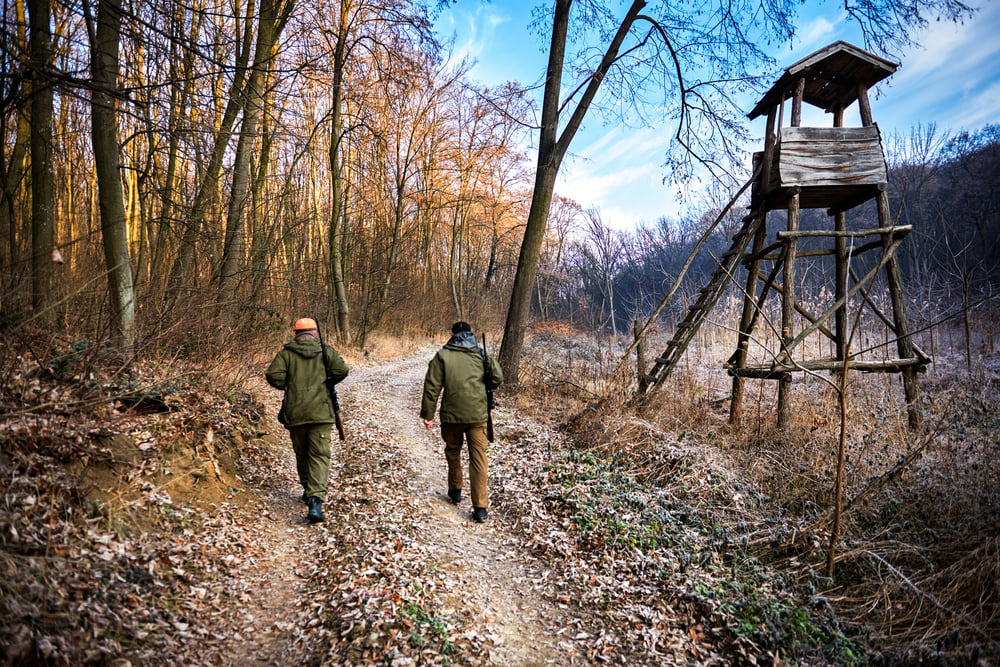
A recreational property, or any piece of wooded land, is not complete without some type of trail system. A trail building novice turned expert shares his experience learning to build trails for hiking, biking, jogging, 4-wheeling and all sorts of outdoor entertainment, plus tips on how to build your own or find a qualified trail building company.
Trail building can be as basic as establishing a short walking, jogging or bike trail on your own property.
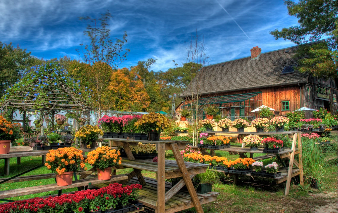
We took advantage of this on a previous property that we owned. A short loop trail was established that was only 1/3 of a mile long, but it ran through open and timbered areas and offered a pleasing respite from the daily demands of life. In addition to the natural beauty of the native plants such as violets, ferns, Jack-in-the-Pulpit flowers, we added colorful azaleas and used it for walking and mountain bike riding.
It took some time and effort to build that small trail, but the results in terms of enjoyment, fitness motivation and lifestyle enhancement were well worth it.
Building a Trail on Your Rural Land or Recreational Property
If you have a desire to create a trail on your property, there are some guidelines to keep in mind.
- If there are significant variances in the terrain, you can use a topographical map to determine the best route for a trail. U.S. Geological Survey Maps are available as 7.5- and 15-minute quadrangles. They are available from the USGS store.
- Another tip is to try to maintain a natural representation of the trees, bushes and plants in the area. It may be necessary to remove some but try to maintain a natural look. Learn more in: "6 Tips to Maintain Plant and Wildlife Diversity When Clearing Land". You can enhance the trail by planting some flowering shrubs or other perennials at trailside, as we did on our trail.
- If significant changes in elevation are present, consider using switchback routes rather than ascending directly up steep grades. Ascending 100 feet at 45 degrees would be extremely difficult, possibly requiring steps to be installed. Ascending 100 feet by utilizing switchbacks of 10 degrees would increase the distance traveled to approximately 510 feet. The results of using switchbacks would be more distance, but less effort and decreased possibility of erosion.
- If steps or a bridge to cross a stream are needed, it is advisable to use treated wood to retard decay. Steps should be pegged down with rebar hammered down through holes drilled in ends of the steps. Rebar should be hammered flush with step surface to avoid the possibility of injury on the sharp ends of the rebar.
- In areas where the elevation changes rapidly, terracing and ditching should be considered to retard erosion. If these are used at frequent intervals, the downward progress of water flow is slowed to a point that erosion will be minimized. The ditching at the terracing can divert water into areas where the water will be absorbed quickly.
- If the trail is of significant length, a bench at mid-point will create a nice spot to take a ‘breather’.
Tools that may be required: shovel, rake, chain saw, bush axe, hammer, nails, carriage bolts and adjustable wrench.

More details on trail building are available in the ‘Complete Guide to Trail Building and Maintenance’ sponsored by the Appalachian Mountain Club. Another book of the same title is authored by Carl Demrow and David Salisbury but is much more costly.
Rails to Trails Projects are Popular Throughout the United States
In addition to our own trail project, we also had the opportunity to assist in a community effort to create a “Rails to Trails” project that helped to revitalize the small South Carolina town of Travelers Rest.
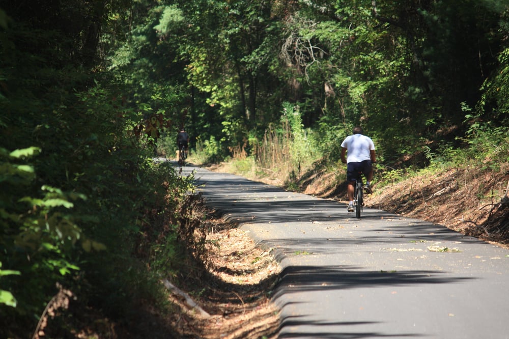
The Prisma Health Swamp Rabbit Trail follows the path of the Swamp Rabbit railroad that originally ran from Greenville, SC, to Jones Gap State Park. The trail follows the course of the Reedy River for some distance.
In the beginning it was a community effort to provide a trail for hikers and bikers to enjoy by removing the rails and crossties and cutting the years of growth after the railroad had ceased to utilize the route.
The trail was expanded and now travels several miles north of Travelers Rest and to the south, it runs through the campus of Furman University and continues into the heart of Greenville, passing by the historic Reedy River Falls. It extends to the southeast of the city of Greenville, ending near Greenville Tech.
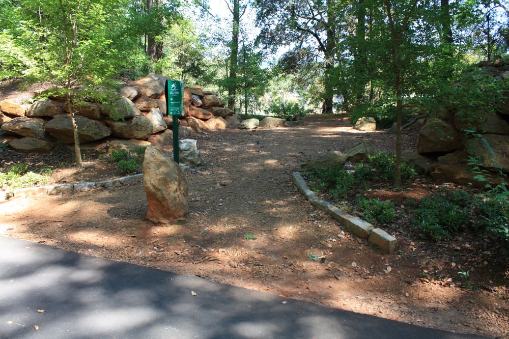
After a gap of several miles, the trail winds through Lake Conestee Nature Park, and another disconnected section is near the city of Fountain Inn. Future plans are to connect all sections.
After the initial undertaking of the project, funding of $1 million by the Greenville Health System allowed for paving, lighting and other amenities to be added. The impact on this part of the state cannot be measured in dollars.
A Few of My Favorite Trails in North and South Carolina
As .jpg?width=331&name=photo%20rail%20trail%20061605%20(2).jpg) an outdoor person, I have taken advantage of many of the trails in the area. Whereas the Swamp Rabbit trail has been a boon to walkers, runners, bikers and skaters, I have enjoyed several more rustic trails that provide resources for more rugged hiking and/or horseback riding.
an outdoor person, I have taken advantage of many of the trails in the area. Whereas the Swamp Rabbit trail has been a boon to walkers, runners, bikers and skaters, I have enjoyed several more rustic trails that provide resources for more rugged hiking and/or horseback riding.
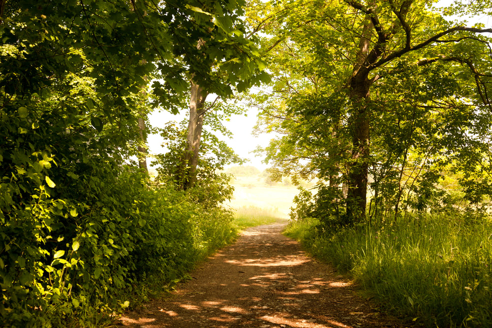
One of my favorites is North Mills Recreation Area. This is located in North Carolina, south of Asheville. The North Mills River is an area that provides excellent trout fishing and is a delayed harvest stream (meaning catch and release only in the winter months). This is an area frequented by horseback riders and mountain bikers. There is an extensive network or trails, many following the river. When fishing this river, it is not uncommon to encounter biker and horseback riders, especially on weekends.
One of the most interesting, in terms of construction details, is the Rainbow Falls Trail. It is part of the trail system at Jones Gap State Park. The park is home to 60 miles of hiking trails, but the Rainbow Falls Trail is one of the latest additions. Formerly, Rainbow Falls could only be accessed by a dangerous and tortuous descent from Camp Greenville above. The beautiful and difficult trail was built as a spur off of the Jones Gap Trail. The Jones Gap Trail and the Rainbow Falls Trail Create an 11.9-mile loop with breathtaking views.
Rainbow Falls drops almost 100 feet and the pool at the base is a pleasant place to view nature in all its splendor. It is more pleasant during warmer seasons, but is well worth the hike at any time. The trail has beautiful steps cut into the stone in places and at one point the trail passes through a gap between two mammoth boulders.
Another spur trail, called Rim of the Gap Trail, forks off from the Jones Gap Trail and terminates at Caesar’s Head. It is 4.3 miles of cliffside trail that is extremely difficult. It is often closed in winter months due to the dangerous build-up of ice. The trail is narrow, precipitous and crosses several small streams. It is dangerous and difficult, but the views of the gorge below are phenomenal.
Historic Origin of Jones Gap Trail
The Jones Gap Trail follows the route of the old Solomon Jones toll road that was the only route over the mountains at the time. It was actively in use from 1840 to 1910.
Thinking of Hiring Out Your Trail Building?
 Trail building is extremely satisfying work, but it does require hard physical labor, planning and a time commitment, which may not be practical for everyone. Fortunately, there are a number of professional trail builders available.
Since availability will vary by location, I recommend consulting the Professional Trail Builders Association (PTBA) which has more than 100 member companies across the world. They can provide information about builders that will create sustainable trail development that protects the environment and provide recreational opportunities for communities.
If you are interested in multi-use trails, either as a user or wish to research the possibility of having one in your area, the subject is extensively covered online. It only takes the initiative to follow through and you will find a world of opportunities. Try to maintain the integrity of the area where the trail will be established. The natural flora will add to the experience when you use the trail.
In addition, maintaining a natural setting will enhance the likelihood of attracting wildlife such as birds and small mammals, which is ideal for all types of properties.
Happy trails.

.jpg "L. Woodrow Ross")