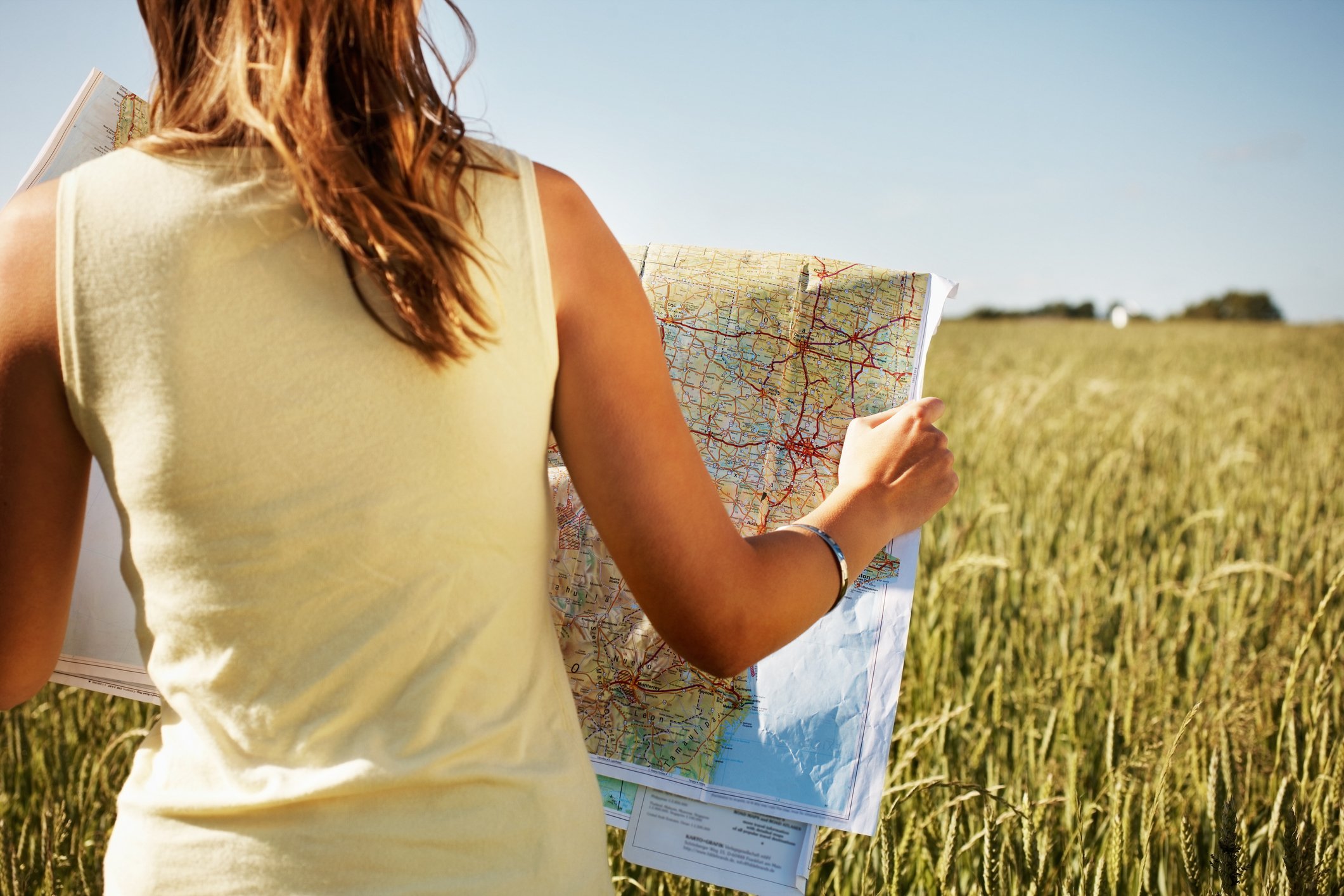
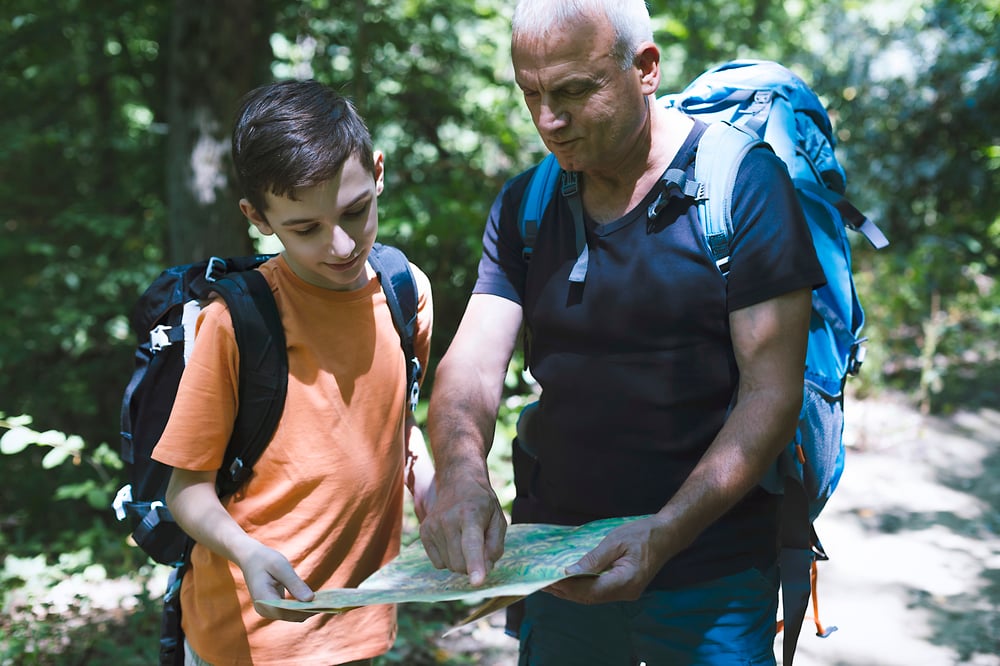
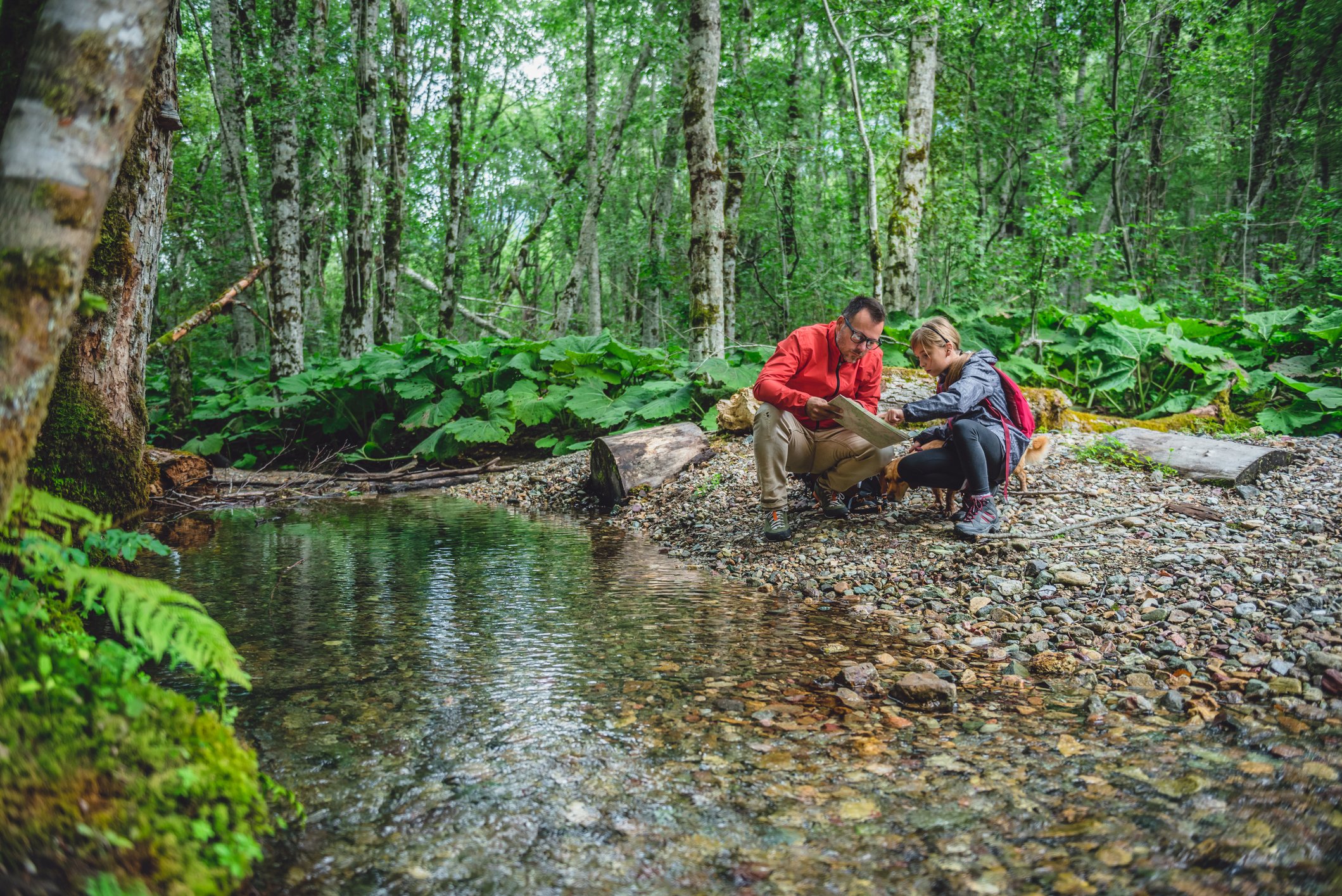
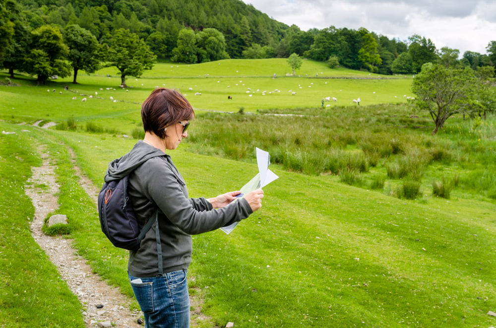
Map reading is a dying art, but it is an essential skill for navigating the great outdoors and for assessing large parcels of rural acreage before purchasing (and it's not that difficult to master). We interview a topographic map expert for his tips on how to get started reading and analyzing topo maps.
I grew up near a Corps of Engineers lake with public land surrounding it. This area became my hub for fishing, hiking, hunting and exploring. Interlaced across the woodlands were abandoned fire roads, old trails and creeks, all useful navigation paths once discovered.
The key in unlocking this discovery was a topo map, which is short for topographic map.
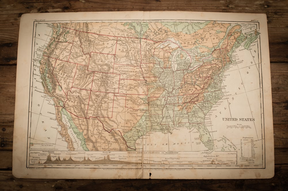
Back then, topo maps were ordered by mail from the U.S. Geological Survey. You simply marked the quadrant you wanted on their order form, sent them a check and in a week or two received your map.
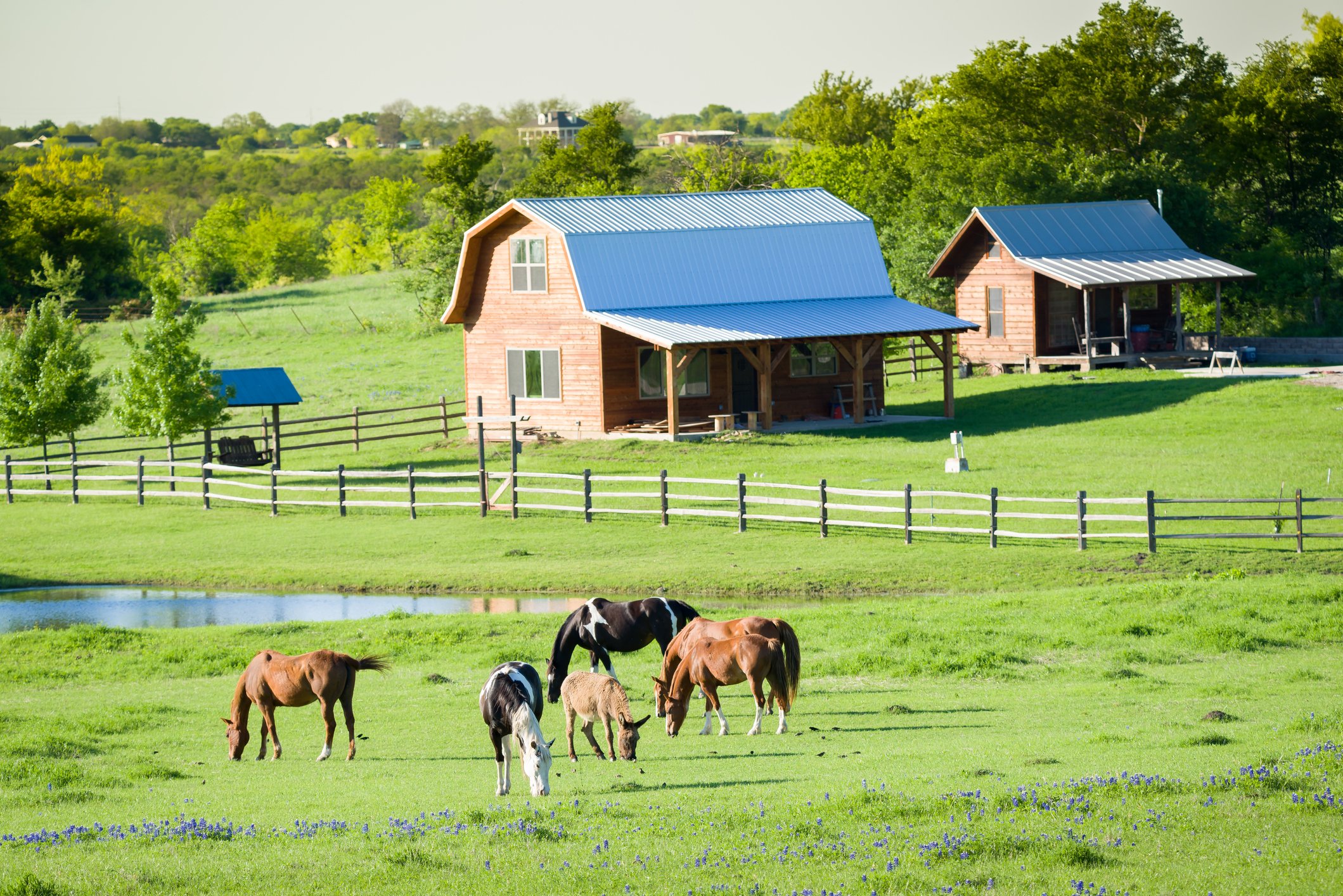
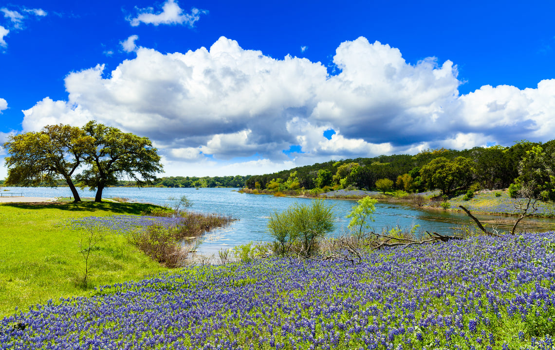
Topo maps are also an invaluable tool for getting the lay of your rural land, especially if you're buying large acreage with woods. In fact, it's a good practice to review a topo map before purchasing a piece of land.
Many evenings were spent studying the map figuring out where to explore, trying to sort out symbols and trails and finding shortcuts to coves for fishing. Before long, my map was worn at the fold, tattered from use and treasured.
Maps today have been modernized and are still relevant
Doug Armknecht, Map Systems Engineer for My Topo/Terrain Navigator Pro, recently gave an online seminar on maps, tools and resources for better understanding them.
The United States Geological Survey explains that a topo map is simply a “representation of the Earth, or part of it. The distinctive characteristic of a topographic map is that the shape of the Earth’s surface is shown in contour lines. Contour lines are imaginary lines that join points of equal elevation on the surface of the land.”
From these contour lines and symbols on the map, you can envision the area and how best to navigate it.
Armknecht explained that maps have come a long way from my original folded copy.
MyTopo (www.mytopo.com) offers standard maps or the ability to customize your own online. You can center the map with your key point of interest, adjust the map scales and customize for special features such as standard topo or satellite photo backgrounds. MyTopo offers both printed maps and digital versions.
Understanding the contour map requires interpretation of symbols
To help with this, Armknecht recommended a USGS symbol guide available free online here.
Among the symbols are some that appear on most maps while others vary depending on your location.
For example, contour lines will be on most maps and are useful in several ways. The closeness of the lines indicates elevation changes. When lines are close together, the area is steep while widely-spaced lines show an area is relatively flat.
Water shows up as blue on the map and creeks as small blue lines. Armknecht explained that you can tell which way the water flows by looking at the contour lines crossing the stream. Contour lines cross the water in a V-shape and the bottom of the V points upstream.
Vegetated areas on the map show up as green with woodlands a solid green background while shrubland is an area of sparse dots. Major roads are red solid lines and trails and unimproved roads are dotted lines.
Campground and picnic areas can also be found on the maps through symbols. Campgrounds are indicated by a tent-shaped symbol and picnic areas are shown by a symbol of a picnic table.
Armknecht has to be fond of maps in his line of work and believes there is a place for maps even in this world of electronics.
First-responders tend to be a market for maps for the simple reason that maps don’t fail.
In using topo maps to navigate, Armknecht emphasizes the importance of staying found
To stay found, he suggests you mark your location on your map as you navigate, preferably updating it ever thirty minutes. Also, when passing a major reference point such as a creek or trail crossing, it’s a good idea to mark that as well.
A number of tools are useful with a topo map. These include grid-readers and specialized map rulers for help in navigation. Armknecht recommended the website www.maptools.com as a good source both for these tools and tutorials on their use.
Also, if you want to see Armknecht’s presentation, you can find a recording of it on the MyTopo YouTube channel under the title, “Basics of Navigation and Map Reading.” Included in his presentation are pointers on navigation, map symbols and safety practices.
I will warn you that an affection for maps can be habit-forming as my collection of topo maps over the years continues to grow. On a dark night, it’s a fine way to explore and plan your next trip while staying close to the fire.