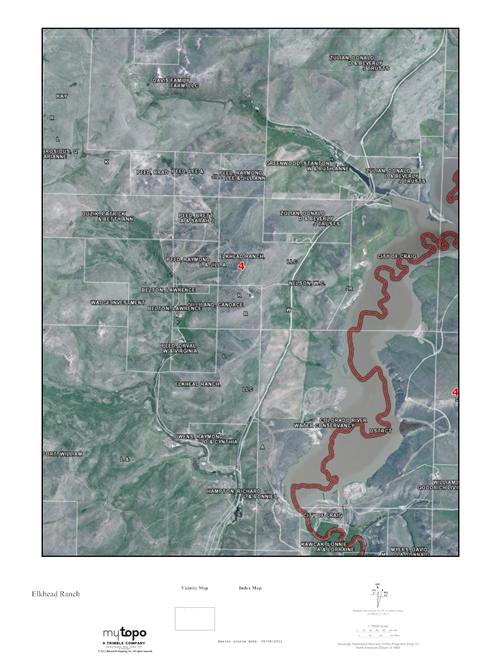
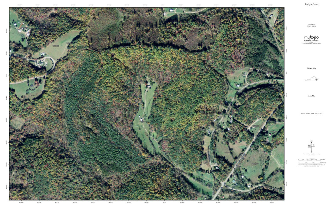
Do you wonder how to know who your neighboring property owners are, especially on property without a house? You can make a custom map online.
Have you ever wondered how to know who your neighboring property owners are, especially on property without a house, where there isn't someone to introduce yourself to? Or have you looked at a tract of land and been curious about its surroundings? Or perhaps you have walked your boundaries but you have no idea where everyone else’s property lines fall?
You could probably do some legwork and figure all this out, but there is a simpler way: a custom map. You can build a detailed map without having to go to school for mapping.
 I found my answers through MyTopo, a Montana company that offers you the ability to design your own map on their website. You choose the size and features, submit payment and it arrives soon after.
So how can they answer all those questions regarding ownership, property lines and surroundings?
Here’s how I used them - and how you can too:
1) Go to www.mytopo.com.
2) You will have several options for maps at this point, including topographical maps, aerial photos, public land maps, and private land and boundary maps. I picked the last one.
3) Search by address. I typed in the address for the family farm and it showed up with roads and creeks I quickly recognized. You can adjust the map boundaries before moving on to the next step by clicking on the prompt below the map.
4) At the next step, the site offers features including map type (I chose aerial), Premium Overlays (I selected Public and Private Boundaries), and size. Based upon the size and features you choose, it then shows the price for your custom map.
5) Finally, you are able to preview your choices before purchasing, with the option to go back and make adjustments. You can even personalize your custom map with a title and owner’s name.
Once you learn your way around the site, you will probably find yourself returning often. If, like me, you grew up with U.S. Geological Survey maps in your hunting coat pocket, you will find this site a handy source.
One advantage of topographical maps is that, with contour lines, you have a better feel for slopes and bluffs than aerial photos can provide. Also, if the property has timber on it, the trees may hide creeks and other important features.
MyTopo even offers subscriptions to download unlimited maps to your mobile device. Their customizable tools also allow you to highlight trails, landmarks, and boundaries. And every map point can be identified with its GPS coordinates.
My map arrived this week. The house my grandfather built is easily recognizable from above, as is the smokehouse beside it. We even have a few neighbors I haven't met, but  at least now, I know who they are.
Images courtesy of MyTopo.


